


Drones 301: Mapping and Inspection
$300.00
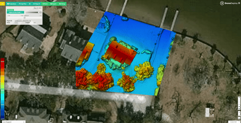
Drones open the way for on demand high resolution orthomosiac maps and 3D models for inspection, construction, surveying, and agriculture applications.
After this course, students will understand mapping concepts, how to set up a drone for mapping, and processing data for reports. This course is spread over several sessions held in both classroom and field settings.
Quantity: